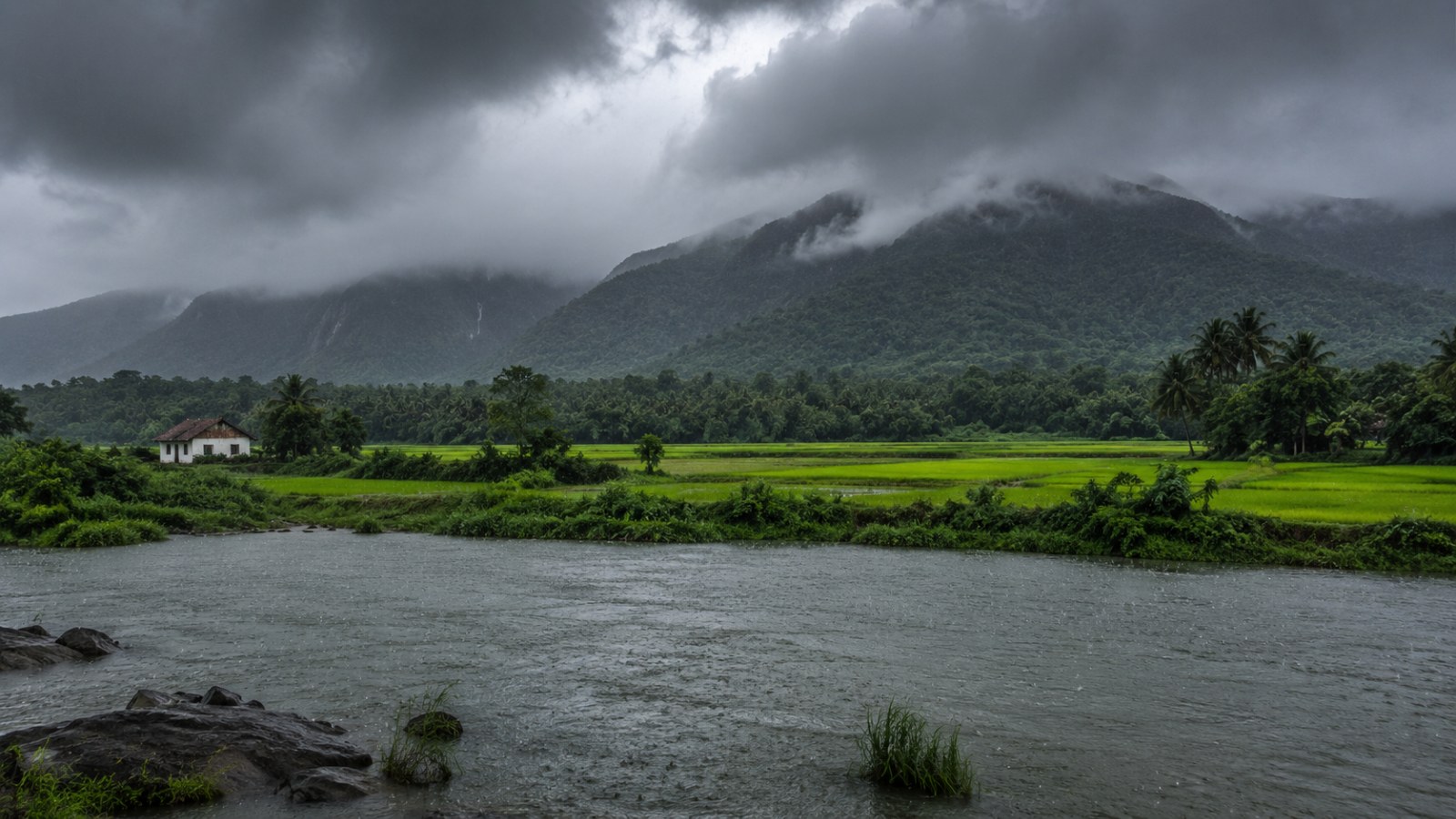
For generations, Indian farmers timed their entire year around the monsoon's rhythm — steady showers spread gently across June to September. That rhythm is breaking. Rain is no longer arriving evenly. Instead, it is bunching up into short, ferocious bursts that flood cities and fields in hours, followed by long dry gaps that stress crops and drinking water supplies.
This isn't a feeling or a guess. It's what happens when you feed 120 years of India's rainfall records into modern climate science.
The ocean is running a fever, and the sky is paying for it
Researchers analyzing the Indian summer monsoon found that the ocean surrounding India has been warming steadily, and this warming is directly reshaping how rain falls on land. A comprehensive review of Indian monsoon studies found that the interaction between rising sea surface temperatures — particularly in the Bay of Bengal — and Rossby waves in the atmosphere is creating uneven, patchy rainfall instead of the broad, gentle soaking farmers depend on the interaction between convection and Rossby waves and higher sea surface temperatures in the Bay of Bengal contribute to uneven wet and dry precipitation patterns across the South Asian monsoon region.
Think of it like this: a calm simmering pot spreads heat evenly. A pot brought to a rolling boil throws water violently in every direction. India's atmosphere, warmed unevenly, is behaving more like the second pot.
The numbers behind the chaos
A landmark study analyzing 120 years of Indian rainfall data (1901–2020) across nine climatically distinct regions found something striking: in seven of those regions, 12 out of 14 measured long-term trends in extreme rainfall are statistically increasing the trends of extreme precipitation events during the Indian summer monsoon measured by two different indicators have been analyzed for the period of 1901–2020, covering the entire India in 9 regions segregated by a clustering analysis, and in seven regions with sufficiently high confidence, 12 out of the 14 calculated trends are found to be statistically significantly increasing.
This means that although the total seasonal rainfall isn't necessarily rising everywhere, the intensity of individual rain events — how hard it pours on a bad day — is climbing almost everywhere researchers looked.
And it isn't only natural climate shifts driving this. The same study used machine learning to test 17 different environmental factors against these trends and found that human-driven land-use change, and especially rapid urbanization, is a major predictor of rising extreme rainfall intensity it is found that man-made long-term shifting of land-use and land-cover patterns, and most significantly the urbanization, play a crucial role in the prediction of the long-term trends of extreme precipitation events, particularly of the intensity of extremes. In simple terms: as we pave over green land with concrete cities, we're not just failing to slow the rain — we may be actively intensifying it.
What the future holds if warming continues
Climate models tell an even sharper story about what's coming. Using next-generation CMIP6 climate models — the same tools behind the UN's IPCC reports — scientists projected monsoon behavior under different future warming scenarios. Under the highest-emission pathway (SSP5-8.5), by the end of this century:
Total monsoon season rainfall will rise about 1.1-fold
The intensity of extreme rainfall events will rise 1.3-fold
Extreme rainfall's spatial unevenness — meaning some places get drenched while nearby areas stay dry — will jump 2.1-fold under the highest emission scenario, SSP5-8.5, at the end of the century, summer monsoon season total rainfall exhibits a 1.1-fold increase, while extreme rainfall intensity demonstrates a more substantial rise of 1.3-fold, and the spatial variability of extreme rainfall increases by an even more pronounced 2.1-fold.
That last number matters most for everyday life. It means climate change isn't just making rain heavier — it's making it far more unpredictable in where it falls, turning monsoon forecasting into an increasingly difficult puzzle even for advanced models.
A related, quieter shift: the northeast monsoon is also intensifying
While most attention goes to the June–September summer monsoon, South India's October–December northeast monsoon is undergoing its own transformation. High-resolution regional climate model simulations combined with modern reanalysis data revealed a clear rise in widespread extreme precipitation events over the southern peninsula during this season the study explores the spatio-temporal characteristics of precipitation during the northeast monsoon, with a particular emphasis on widespread extreme precipitation events and their associated large-scale synoptic systems, using recent ensemble of high-resolution regional climate models and the Indian monsoon data assimilation and analysis reanalysis. This is the same monsoon season responsible for catastrophic flooding events like the one that struck southern Tamil Nadu in December 2023, when rainfall in some districts exceeded a 100-year return period — a statistical way of saying "this level of rain should happen only once a century" the rainfall recorded on December 17, 2023, exceeded the 100-year return period in Tirunelveli and Thoothukudi, and the 50-year return period in Kanyakumari and Tenkasi, indicating a statistically rare and hydrologically severe event.
Why this matters for nearly a billion people
India's rainfall isn't just weather trivia — it's the backbone of the nation's food system. The Indian economy remains deeply tied to agriculture, which contributes 21% of India's GDP and supports 46.1% of its population the Indian economy is highly linked with agriculture, contributing 21% of the country's total gross domestic product, which supports about 46.1% of the population. When rainfall becomes a game of feast-or-famine — brutal floods in some weeks, dry stretches in others — crop planning becomes a gamble, and the risk of both floods and droughts rises simultaneously in different parts of the same country.
The bottom line
The monsoon isn't disappearing — it's mutating. Less like a reliable seasonal gift, more like a system running on a shorter fuse: same total energy, delivered in fewer, harder, less predictable strikes. The science is consistent across observational records and future climate models alike — and the driving forces include not just global warming, but our own reshaping of the land beneath the clouds.